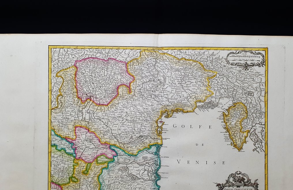
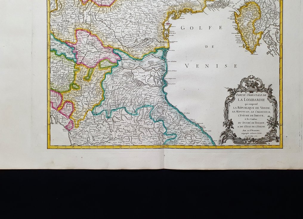
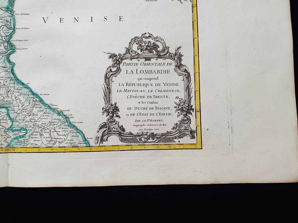
Europe - Northeast Italy / Veneto / Venice / Trieste / Belluno / Cremona / Lombardy / Mantua / Cadore /; Robert de Vaugondy - Partie Orientale de la Lombardie, la Rep. de Venise, le Mantouan, le Cremonese, Trent......, 1758 - 1751-1760

Opens 11:00
Starting bid
€ 1

Add to your favourites to get an alert when the auction starts.

Catawiki Buyer Protection

Your payment’s safe with us until you receive your object.View details

Trustpilot 4.4 | 121798 reviews

Rated Excellent on Trustpilot.

Description from the seller

This enormous geographical map in Imperial-Folio size is an original copper engraving from 1758.

This is the rare 1st edition of VAUGONDY, published in 1758 in its very rare and fantastic atlas, which bears the name: "Atlas Universel by M. Robert Geographe, ordinary geographer to the King, and by M. Robert de Vaugondy, his son, ordinary geographer to the King and of................ in Paris, 1758".

Very beautiful and very large map published in France, with contemporaneous coloring, wide margins, and geographically well detailed in every point.

Conditions: the conditions are really very, very, very good, excellent in every way, as shown in the photo.

The overall dimensions of this enormous map are: 82 cm x 56 cm.

Seller's Story

I am a private Catawiki seller and I sell collectibles, a wonderful world.
Translated by Google Translate

Details

Era
1400-1900
Number of items
1
Country
Europe
Geographical specification
Northeast Italy / Veneto / Venice / Trieste / Belluno / Cremona / Lombardy / Mantua / Cadore /
Map maker/ publisher
Robert de Vaugondy
Map/ Book title
Partie Orientale de la Lombardie, la Rep. de Venise, le Mantouan, le Cremonese, Trent......, 1758
Period
1751-1760
Condition
Excellent
Technique
Copper engraving
Additional Information
Original IMPERIAL-FOLIO colored copper plate
Map colour
Contemporary hand colour
Height
82 cm
Width
56 cm
ItalyVerified
8322
Objects sold
100%
Privatetop

Similar objects

For you in

Maps