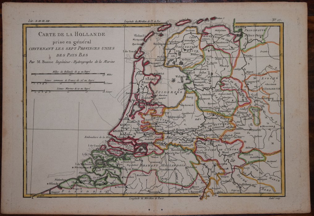
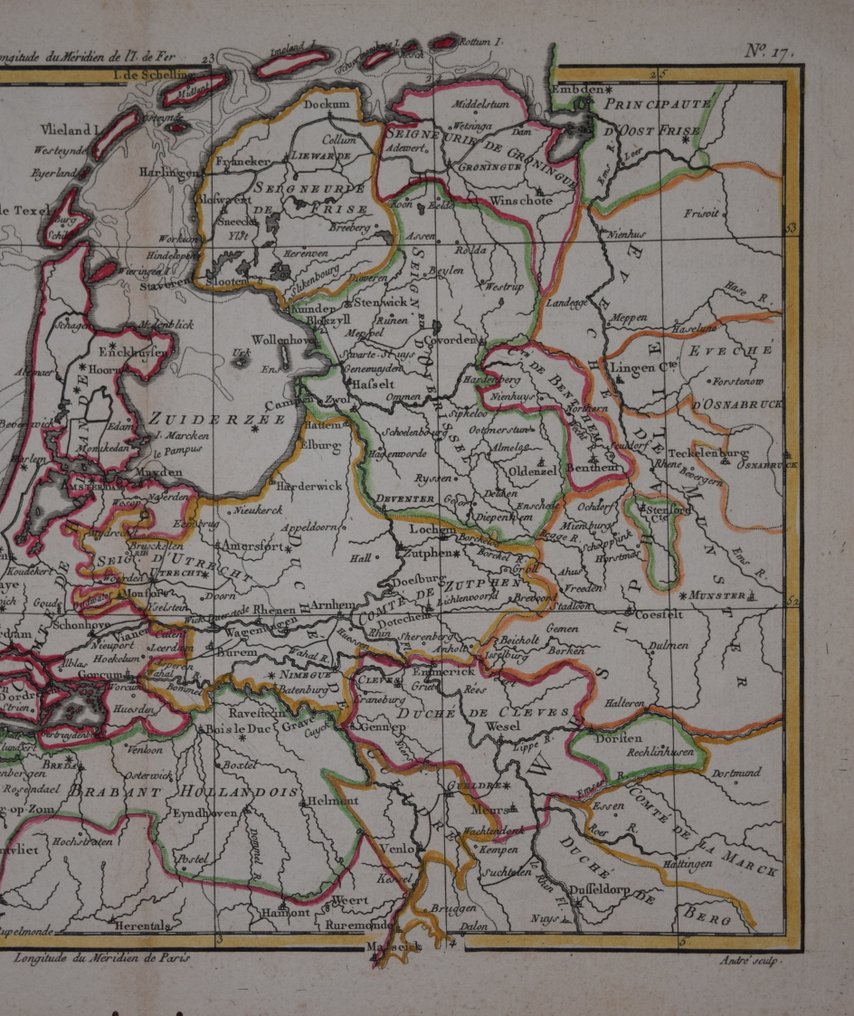
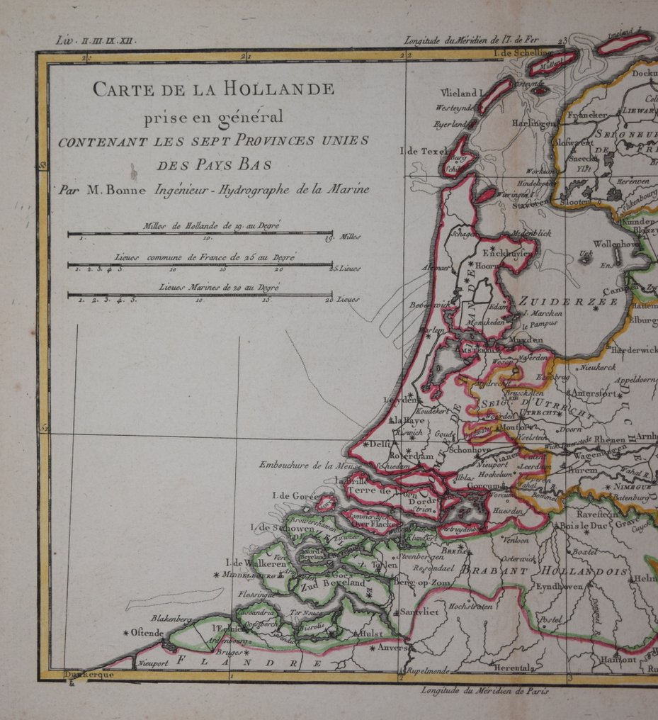
Netherlands - Netherlands; Bonne - Carte de La Hollande.. - 1781-1800

05
days
00
hours
24
minutes
46
seconds
Starting bid
€ 1
No reserve price
Ilaria Colombo
Expert
Selected by Ilaria Colombo

Specialist in old books, specialising in theological disputes since 1999.

Estimate  € 150 - € 190
No bids placed

Catawiki Buyer Protection

Your payment’s safe with us until you receive your object.View details

Trustpilot 4.4 | 122190 reviews

Rated Excellent on Trustpilot.

Carte de La Hollande.. is a copper engraving by Rigobert Bonne of the Netherlands, engraved on paper and measuring approximately 210 x 320 mm with later hand colour, in good condition.

AI-assisted summary

Description from the seller

Decorative copper line engraving on paper by Rigobert Bonne. The present map was produced to accompany the "Atlas de Toutes Les Parties Connues du Globe Terrestre" and published in Paris circa, 1780.

Engraved surface measures approx. 210 x 320 mm. Good condition. Some usual age related marks.

Attractive hand colour.


A guaranteed genuine antique map.

Details

Era
1400-1900
Country
Netherlands
Geographical specification
Netherlands
Map maker/ publisher
Bonne
Map/ Book title
Carte de La Hollande..
Period
1781-1800
Condition
Good
Technique
Copper engraving
Additional Information
A detailed map of the area.
Map colour
Later hand colour
Height
210 mm
Width
320 mm
PortugalVerified
19
Objects sold
Private

Similar objects

For you in

Maps