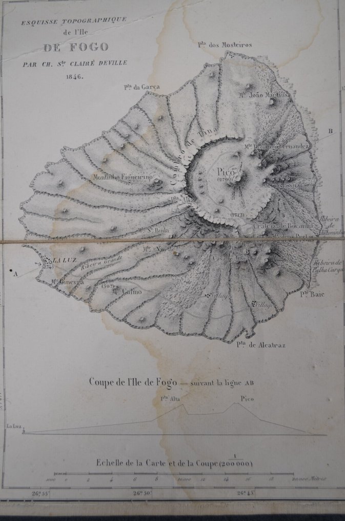
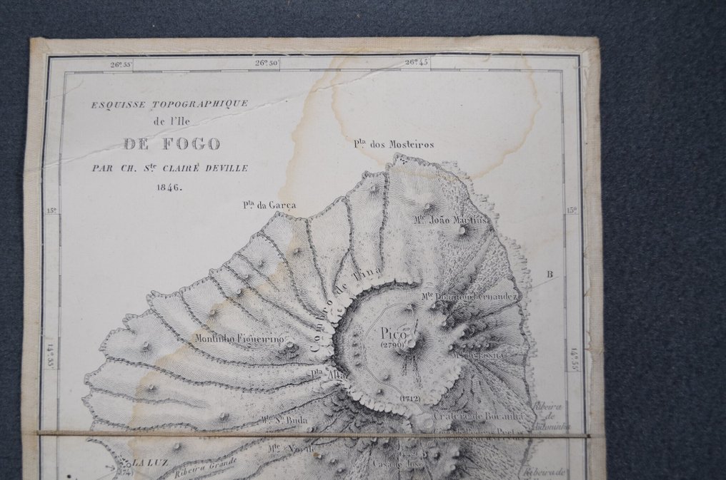
Cabo Verde - Island of Fogo; Charles Sainte-Claire Deville (1814-1876) - Esquisse topographique de l’île de Fogo, 1846 - 1821-1850

13
days
09
hours
08
minutes
00
seconds
Starting bid
€ 1
No reserve price
Ilaria Colombo
Expert
Selected by Ilaria Colombo

Specialist in old books, specialising in theological disputes since 1999.

Estimate  € 170 - € 210
No bids placed

Catawiki Buyer Protection

Your payment’s safe with us until you receive your object.View details

Trustpilot 4.4 | 122115 reviews

Rated Excellent on Trustpilot.

Esquisse topographique de l’île de Fogo, 1846, an original engraved map by Charles Sainte-Claire Deville (1814-1876) depicting the volcanic island of Fogo in Cap-Vert, with very detailed relief and the central crater and Pico, uncoloured, 23.5 x 17 cm.

AI-assisted summary

Description from the seller

Charles Sainte-Claire Deville (1814-1876)
Topographical Sketch of Fogo Island, 1846

Original engraved map depicting the volcanic island of Fogo (Cape Verde).
Topographical Sketch of Fogo Island by Ch. Ste Claire Deville. 1846

Very detailed representation of the island's relief, with the large central crater and Pico (elevation 2790 m) at the center.
Section of Fogo Island along line AB showing the profile of the volcano.
Map and section scale (1:200,000). Geographic coordinates indicated in the margins.

Double paper with old canvas, with a handwritten label on the back reading 'Ile de Fogo (Island of Fire)'.

Condition: horizontal fold, significant old water stains forming halos.
Clear, legible impression across the entire surface.

23.5 x 17 cm

Interesting 19th-century volcanological mapping document, a rare scientific representation of Fogo Island.

Details

Era
1400-1900
Number of items
1
Country
Cabo Verde
Geographical specification
Island of Fogo
Map maker/ publisher
Charles Sainte-Claire Deville (1814-1876)
Map/ Book title
Esquisse topographique de l’île de Fogo, 1846
Period
1821-1850
Condition
Reasonable
Additional Information
Very detailed representation of the island's relief.
Map colour
Uncoloured map
Height
23.5 cm
Width
17 cm
Sold by
FranceVerified
512
Objects sold
100%
Private

Similar objects

For you in

Maps