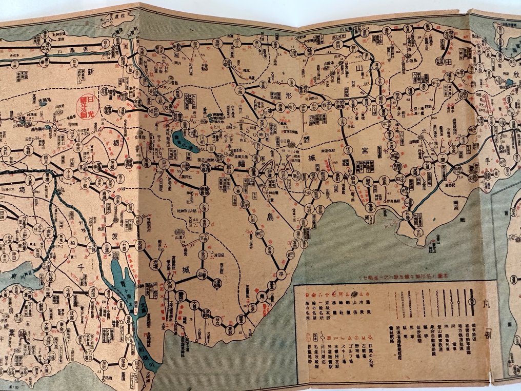
Japan - Japan; unknown - “New Railway Route Map – 1939 (Showa 14)” Japan – Korea – Manchuria Pre-war Wide-Area Railway Map - 1939

10
days
00
hours
40
minutes
07
seconds
Starting bid
€ 1
No reserve price
Ilaria Colombo
Expert
Selected by Ilaria Colombo

Specialist in old books, specialising in theological disputes since 1999.

Estimate  € 150 - € 200
No bids placed

Catawiki Buyer Protection

Your payment’s safe with us until you receive your object.View details

Trustpilot 4.4 | 122473 reviews

Rated Excellent on Trustpilot.

New Railway Route Map – 1939 (Showa 14) Japan – Korea – Manchuria Pre-war Wide-Area Railway Map, published in Japan, in colour, 18 cm by 75 cm, good condition.

AI-assisted summary

Description from the seller

“New Railway Route Map – 1939 (Showa 14)”
Japan – Korea – Manchuria
Pre-war Wide-Area Railway Map

A rare and highly detailed pre-war railway map
covering the entire railway networks of Japan, Korea, and Manchuria
at the height of their development in 1939.

Highlights:

Complete railway systems of Japan (national & private lines)

Korean Peninsula railway network under Japanese administration

Manchukuo railways including Hsinking, Harbin, Mukden, Dalian

Major shipping routes connecting Japan and the continent

Clear multicolor printing and detailed station connections

This map captures the transportation geography of East Asia
during one of its most dynamic historical periods.

Such wide-area railway maps are increasingly scarce,
especially well-preserved examples,
and are highly valued by collectors of transportation history,
Asian geopolitics, and pre-war cartography.

Please check the photos for condition.

Details

Era
1900-2000
Number of items
1
Country
Japan
Geographical specification
Japan
Map maker/ publisher
unknown
Map/ Book title
“New Railway Route Map – 1939 (Showa 14)” Japan – Korea – Manchuria Pre-war Wide-Area Railway Map
Period
1939
Condition
Good
Additional Information
Old Map
Map colour
Printed in colour
Height
18 cm
Width
75 cm
JapanVerified
1033
Objects sold
98.83%
Privatetop

Similar objects

For you in

Maps