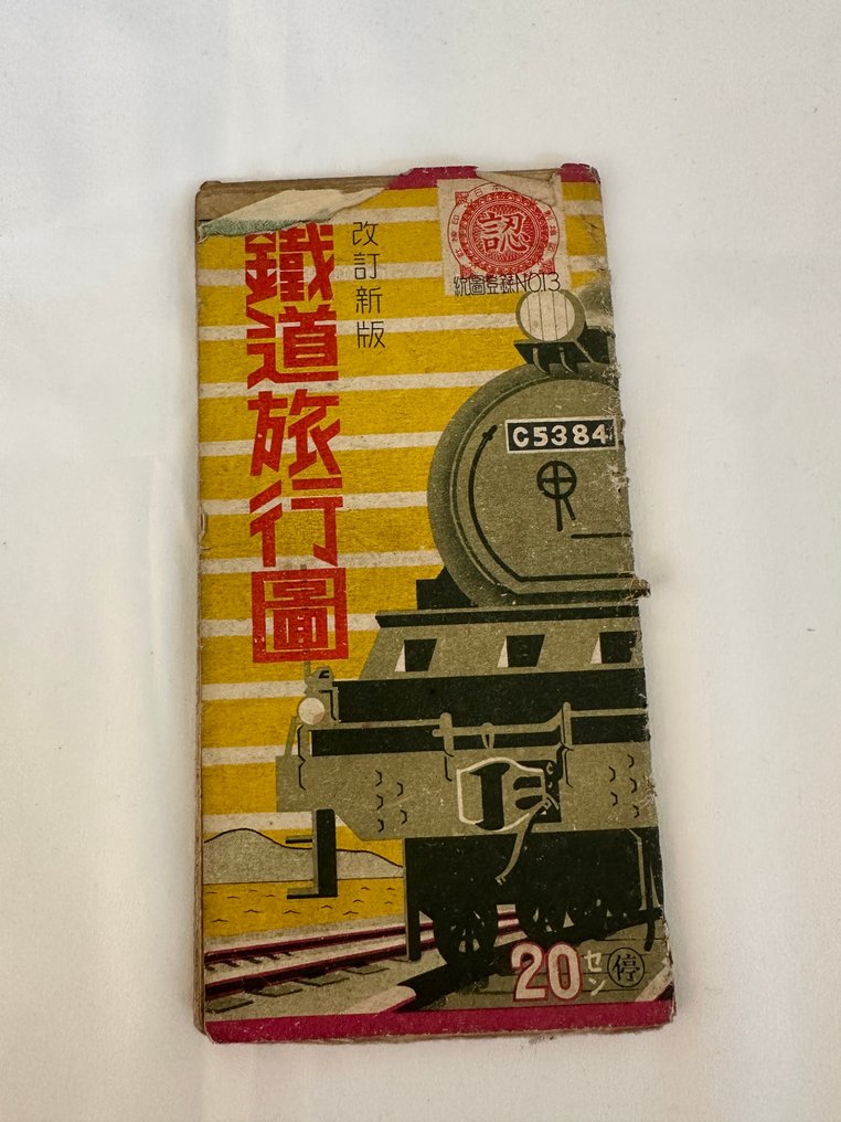
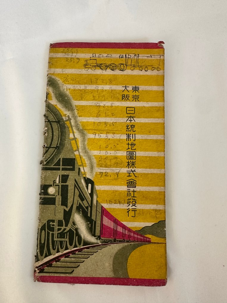
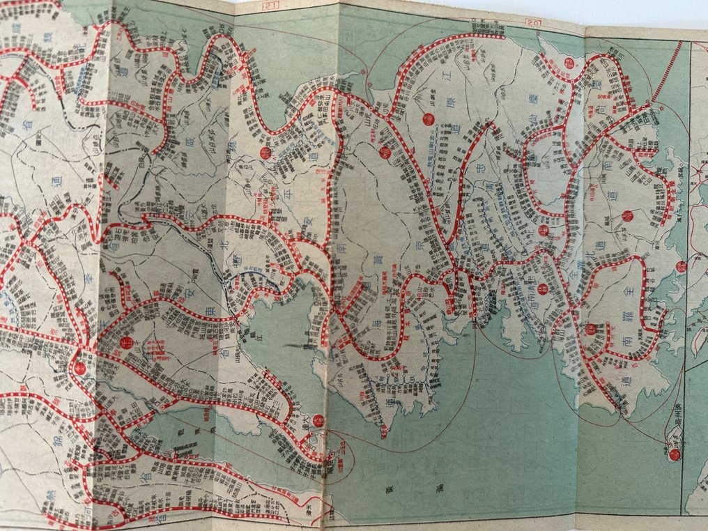
Japan - Japan; Nihon Tosei Chizu - “Revised New Edition – Railway Travel Map” Showa 16 (1941) Published by Nihon Tosei Chizu Co. Japan - 1941

10
days
01
hour
51
minutes
43
seconds
Starting bid
€ 1
No reserve price
Ilaria Colombo
Expert
Selected by Ilaria Colombo

Specialist in old books, specialising in theological disputes since 1999.

Estimate  € 150 - € 200
No bids placed

Catawiki Buyer Protection

Your payment’s safe with us until you receive your object.View details

Trustpilot 4.4 | 122473 reviews

Rated Excellent on Trustpilot.

“Revised New Edition – Railway Travel Map” published by Nihon Tosei Chizu Co. in Showa 16 (1941), Japan, a large, colour map covering Japan, Manchuria, Korea, Taiwan and Karafuto.

AI-assisted summary

Description from the seller

“Revised New Edition – Railway Travel Map”
Showa 16 (1941)
Published by Nihon Tosei Chizu Co.
Japan / Manchuria / Korea / Taiwan / Karafuto

A rare and large-scale pre-war railway map issued in 1941,
covering the entire railway networks of Japan, Korea, Manchuria, Taiwan, and Karafuto.
Produced by the Japan Map Control Company,
this map offers exceptionally detailed and accurate information on the transportation routes
at the height of the Japanese Empire’s railway expansion.

Highlights:

Complete railway routes of Japan

Korean Peninsula under Japanese administration

Manchukuo: Hsinking, Mukden, Harbin, Dalian

Taiwan Government Railways

Karafuto (Sakhalin) rail lines

Major sea routes connecting Japan and the continent

Clear multicolor printing typical of pre-war cartography

Such wide-area maps combining all imperial territories are extremely scarce
and highly sought after by collectors of East Asian history, transportation studies,
and pre-war geopolitical materials.

Please check the photos for condition.

Details

Era
1900-2000
Number of items
1
Country
Japan
Geographical specification
Japan
Map maker/ publisher
Nihon Tosei Chizu
Map/ Book title
“Revised New Edition – Railway Travel Map” Showa 16 (1941) Published by Nihon Tosei Chizu Co. Japan
Period
1941
Condition
Good
Additional Information
Old Map
Map colour
Printed in colour
Height
19 cm
Width
220 cm
JapanVerified
1033
Objects sold
98.83%
Privatetop

Similar objects

For you in

Maps