Japan - Japan; 東京印刷株式会社 - “Manchukuo and China Large Map with Shanghai City Map – Commemorative Edition for the 1932 Shanghai - 1932


10
days
20
hours
11
minutes
29
seconds
Starting bid
€ 1
No reserve price

Expert
Selected by Ilaria Colombo
Specialist in old books, specialising in theological disputes since 1999.
Estimate € 200 - € 300
No bids placed
Catawiki Buyer Protection
Your payment’s safe with us until you receive your object.View details
Trustpilot 4.4 | 122385 reviews
Rated Excellent on Trustpilot.
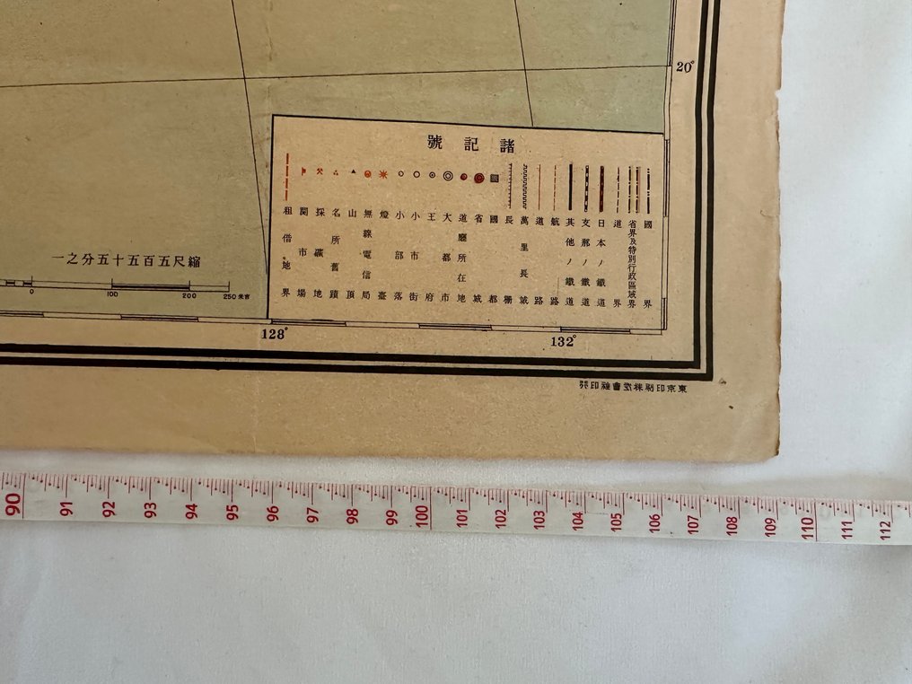
A colour-printed 1932 commemorative large map of Manchukuo and China with a detailed Shanghai city map, produced by Tokyo Printing Co., Japan; the 80 by 110 cm map is in good condition.
AI-assisted summary
Description from the seller
A rare and historically significant pre-war geopolitical map issued in 1932,
the year of both the First Shanghai Incident and the establishment of Manchukuo.
This map presents an extensive view of East Asia under rapidly shifting political conditions,
and includes a detailed Shanghai city map, created specifically as a commemorative reference.
Highlights:
Full map of Manchukuo (Hsinking, Mukden, Harbin, Dalian, Qiqihar)
Political and geographical layout of China (North, Central & South China including Nanjing, Beijing, Shanghai)
Korea, Taiwan, Karafuto (Sakhalin), and parts of Russia’s Far East
Detailed Shanghai city map showing concession areas, major streets, port zones, and strategic locations relevant to the 1932 conflict
Multicolor lithographic printing typical of early Shōwa-era cartography
Provides insights into the geopolitical worldview of Japan before the full escalation of the Pacific War
Maps produced in response to major historical events—especially those connected to the Shanghai Incident—are extremely scarce today.
This example is a valuable primary source for collectors of:
East Asian history
Military & geopolitical studies
Pre-war cartography
Manchukuo-related materials
Shanghai & treaty-port urban history
Please check the photos for condition.
An exceptional and highly collectible artifact from one of the most pivotal years in 20th-century East Asian history.
Details
Era
1900-2000
Number of items
1
Country
Japan
Geographical specification
Japan
Map maker/ publisher
東京印刷株式会社
Map/ Book title
“Manchukuo and China Large Map with Shanghai City Map – Commemorative Edition for the 1932 Shanghai
Period
1932
Condition
Good
Additional Information
Old Map
Map colour
Printed in colour
Height
80 cm
Width
110 cm
Sold by
