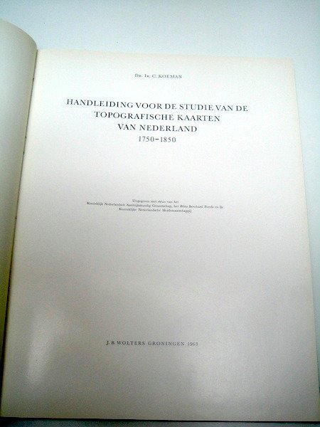
Netherlands - The Netherlands in the 18th and 19th centuries.; Prof.Dr.Ir. C. Koeman - Handleiding voor de studie van de topografische kaarten van Nederland - 1750-1850

04
days
20
hours
26
minutes
07
seconds
Current bid
€ 1
No reserve price
10 other people are watching this object
nlBidder 1737 €1

Catawiki Buyer Protection

Your payment’s safe with us until you receive your object.View details

Trustpilot 4.4 | 122813 reviews

Rated Excellent on Trustpilot.

Handleiding voor de studie van de topografische kaarten van Nederland (1750–1850) by Prof. Dr. Ir. C. Koeman, Groningen, J.B. Wolters, with Kon.Ned.Aardrijkskundig Genootschap, 1963; 120 pp, linen binding with a snap-in pocket, size 32 × 25 cm, bilingual Dutch–English, complete with 7 looseleaf maps/kaartwijzers in the pocket, in very good condition.

AI-assisted summary

Description from the seller

Manual for the study of the topographical maps of the Netherlands 1750-1850 / Guide to the study of topographical mapping in The Netherlands 1750-1850 - Dr. Ir. C. Koeman - Groningen, J.B. Wolters, with the support of the Royal Netherlands Geographical Society, 1963 - 120 pages - cloth binding with slip pocket - 32 x 25 cm.
Bilingual; Dutch and English.

Condition: in very good condition.

Complete with 7 loose-leaf cards/bookmarks, in a compartment.

Details

Era
1400-1900
Over 200 years old
No
Country
Netherlands
Geographical specification
The Netherlands in the 18th and 19th centuries.
Map maker/ publisher
Prof.Dr.Ir. C. Koeman
Map/ Book title
Handleiding voor de studie van de topografische kaarten van Nederland
Period
1750-1850
Condition
Excellent
Technique
print
Additional Information
This standard work is a must for every card collector!
Height
32 cm
Width
25 cm
Sold by
The NetherlandsVerified
3955
Objects sold
100%
Privatetop

Similar objects

For you in

Maps