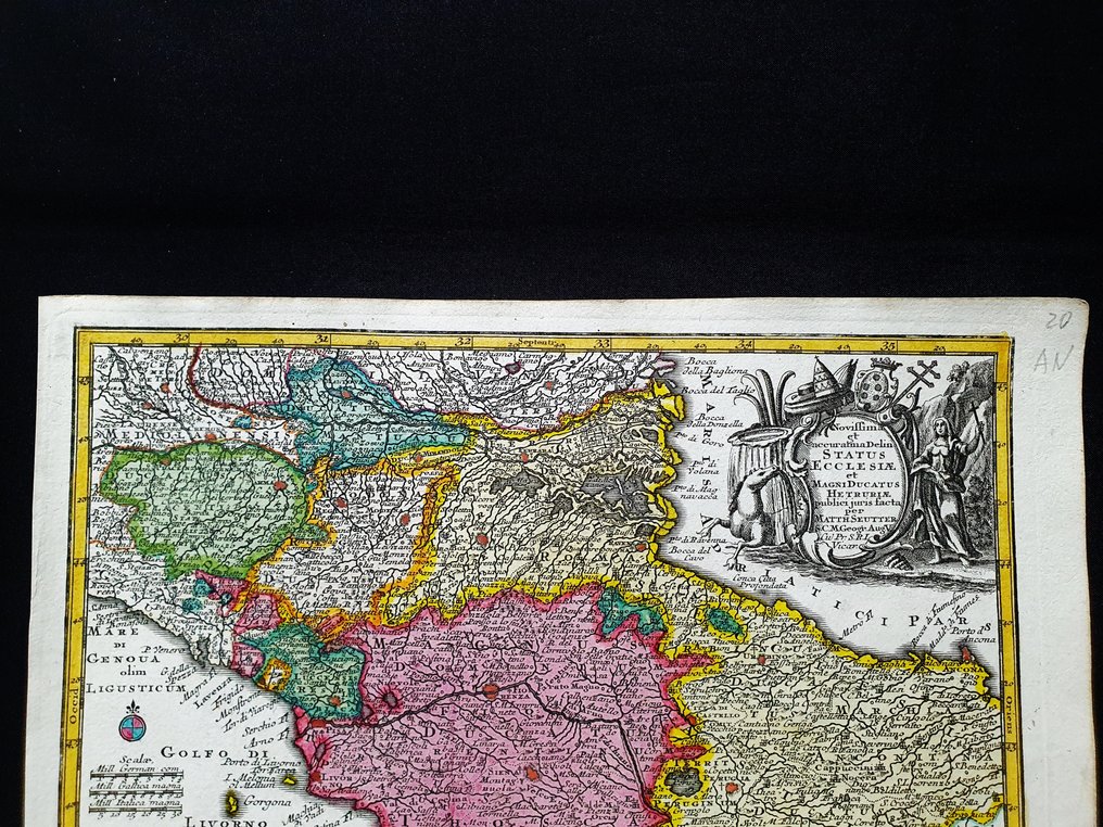
Europe - Central Italy / Tuscany / Lazio / Rome / Florence; Matthaus Seutter / C. Lotter - Novissima et Accuratissima Delineatio Status Ecclesiae et magni Ducatus Hetruriae - 1721-1750

01
day
00
hours
23
minutes
47
seconds
Current bid
€ 38
Reserve price not met
Ilaria Colombo
Expert
Selected by Ilaria Colombo

Specialist in old books, specialising in theological disputes since 1999.

Estimate  € 150 - € 200
1 other person has their eye on this
itBidder 5176 €38
itBidder 5176 €30

Catawiki Buyer Protection

Your payment’s safe with us until you receive your object.View details

Trustpilot 4.4 | 122630 reviews

Rated Excellent on Trustpilot.

Novissima et Accuratissima Delineatio Status Ecclesiae et magni Ducatus Hetruriae, by Matthaus Seutter and C. Lotter, circa 1720, is a pocket map of Italia Centrale including Toscana, Lazio, Roma and Firenze, produced on an original copper plate with hand colouration, measuring 28 × 22 cm and in excellent condition.

AI-assisted summary

Description from the seller

This rare geographic map is an original copper engraving from around 1720.

This is the very rare pocket edition by MATTHAUS SEUTTER, published in 1720, in his Atlas which bears the name of: "ATLAS MINOR - Atlas novus sive Tabulae geographicae totius Orbis faciem, partes, imperia, regna et provinciales exhibentes exactissima cura iuxta recent observationae Matthaeus Seutter-Grosser Atlas worinnen enthalten alle jenige geographische Universal Special und Particular-Mappen......AUGSBURG, 1720"

Beautiful map published in Germany, with excellent and original watercolour work, wide margins and geographically well detailed at every point.

Conditions: the conditions are truly more than good, excellent, as shown in the photo, with a small stain almost invisible, located in the bottom left corner, as shown in the photo.

The overall dimensions of the map are: 28 x 22 cm

Seller's Story

I am a private Catawiki seller and I sell collectibles, a wonderful world.
Translated by Google Translate

Details

Era
1400-1900
Number of items
1
Country
Europe
Geographical specification
Central Italy / Tuscany / Lazio / Rome / Florence
Map maker/ publisher
Matthaus Seutter / C. Lotter
Designer/Artist/Maker
Matthaus Seutter
Map/ Book title
Novissima et Accuratissima Delineatio Status Ecclesiae et magni Ducatus Hetruriae
Period
1721-1750
Condition
Excellent
Technique
Copper engraving
Additional Information
Original colored copper plate
Map colour
Contemporary hand colour
Height
28 cm
Width
22 cm
ItalyVerified
8370
Objects sold
100%
Privatetop

Similar objects

For you in

Maps