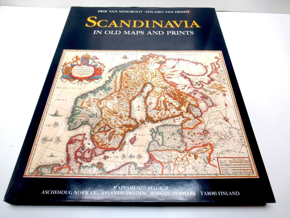
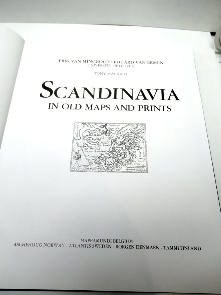
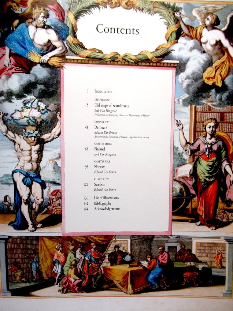
Scandinavia - Norway, Sweden, Denmark, Finland, Iceland; Erik van Mingroot, Eduard van Ermen, University of Leuven, Tony Mackrill, a.o. - Scandinavia in Old Maps and Prints - 1400-1800

04
days
19
hours
48
minutes
57
seconds
Starting bid
€ 1
No reserve price
No bids placed

Catawiki Buyer Protection

Your payment’s safe with us until you receive your object.View details

Trustpilot 4.4 | 122813 reviews

Rated Excellent on Trustpilot.

Scandinavia in Old Maps and Prints is a large-format hardback (linen) with a laminated dust jacket, 39 x 31 cm, 144 pages, published in 1987, featuring a richly illustrated overview of Norway, Sweden, Denmark, Finland and Iceland from 1400–1800 by Erik van Mingroot, Eduard van Ermen, University of Leuven and Tony Mackrill.

AI-assisted summary

Description from the seller

Scandinavia in Old Maps and Prints - Erik van Mingroot, Eduard van Ermen, University of Leuven, Tony Mackrill - Belgium, Mappa Mundi / Aschehoug, Norway / Atlantis, Sweden / Borgen, Denmark / Tammi, Finland, 1987 - 144 pp - hardback (linen) with laminated dust jacket - 39 x 31 cm - weight: 2,8 kg.
Language: English.

Mint condition.

Details

Era
1400-1900
Over 200 years old
No
Country
Scandinavia
Geographical specification
Norway, Sweden, Denmark, Finland, Iceland
Map maker/ publisher
Erik van Mingroot, Eduard van Ermen, University of Leuven, Tony Mackrill, a.o.
Map/ Book title
Scandinavia in Old Maps and Prints
Period
1400-1800
Condition
Excellent
Technique
print
Additional Information
Richly illustrated overview work, in large format
Height
39 cm
Width
31 cm
Sold by
The NetherlandsVerified
3955
Objects sold
100%
Privatetop

Similar objects

For you in

Maps