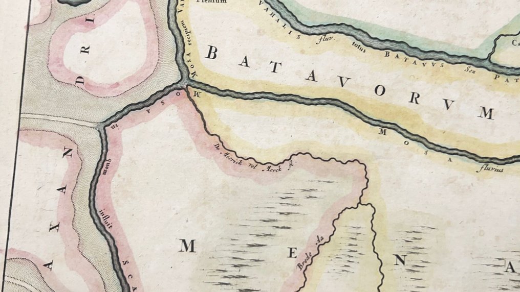
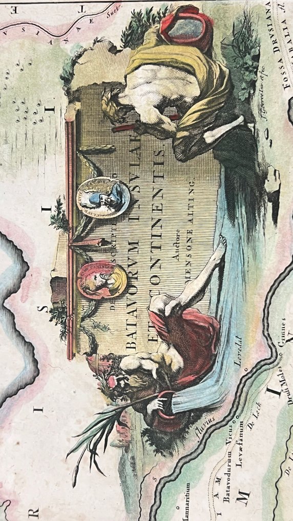
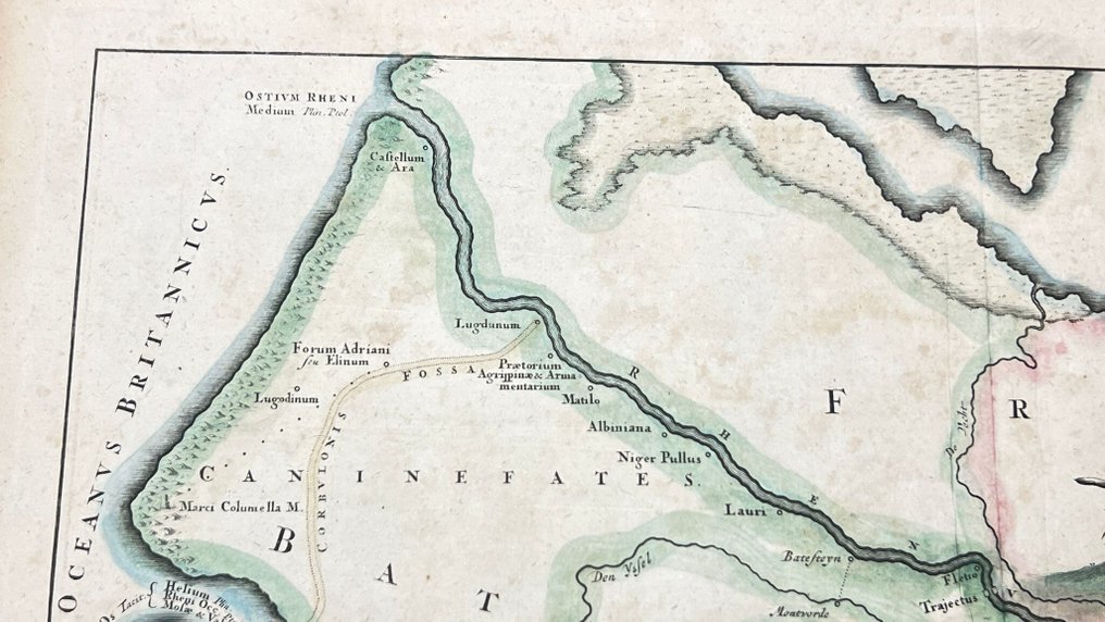
Netherlands - Zeeland, Brabant, Limburg, Gelderland; Mensone Alting. / F. Halma. - Descriptio Batavorum Insulae et Continentis - 1721-1750

05
days
21
hours
32
minutes
07
seconds
Starting bid
€ 1
No reserve price
No bids placed

Catawiki Buyer Protection

Your payment’s safe with us until you receive your object.View details

Trustpilot 4.4 | 122713 reviews

Rated Excellent on Trustpilot.

Descriptio Batavorum Insulae et Continentis is a copper engraving map by Mensone Alting / F. Halma, published in the Netherlands, depicting Zeeland, Brabant, Limburg, Gelderland with the Rhine and two cartouches, sized 41 × 48 cm, hand coloured in the same period and dating from 1725.

AI-assisted summary

Description from the seller


Old historical map published in; 'Tooneel der vereenigde Nederlanden en onderhorige landschappen (...)'
Published by Francois Halma. Leeuwarden 1725.
Fold as issued. Back side blank.


Old historical map published in; 'Tooneel der vereenigde Nederlanden en onderhorige landschappen (...)'
Published by Francois Halma. Leeuwarden 1725.
Fold as issued. Back side blank.

Details

Era
1400-1900
Number of items
1
Country
Netherlands
Geographical specification
Zeeland, Brabant, Limburg, Gelderland
Map maker/ publisher
Mensone Alting. / F. Halma.
Map/ Book title
Descriptio Batavorum Insulae et Continentis
Period
1721-1750
Condition
Good
Technique
Copper engraving
Additional Information
Map shows a part of the Netherlands with the Rhine and two magnificent cartouches. From the atlas.
Map colour
Contemporary hand colour
Height
41 cm
Width
48 cm
The NetherlandsVerified
Private

Similar objects

For you in

Maps