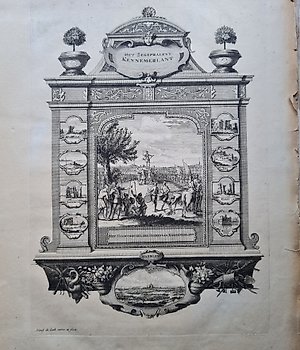
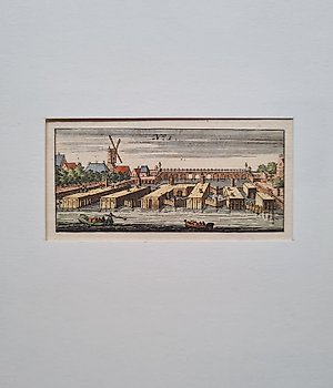
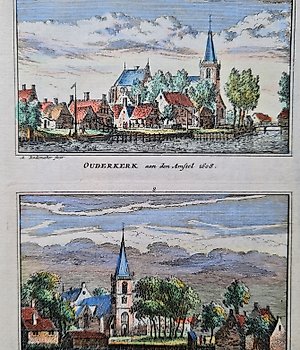
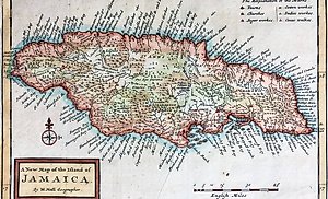
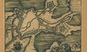
1721-1750 Townplan
20 objects
Europe, Map - Netherlands / Belgium / Brabant / Holland / Limburg; Pieter Vander Aa - Carte des Pays Bas Catholique / Les Provinces Unies des Pays Bas suivant les nouvelles observations - 1721-1750
Dimensions: 52.5 x 38 cm. Copper engraving published in "Le Nouveau Theater du Monde, ou la Geographie Royale", published by Pieter van der Aa. Leiden, 1728. No centrefold. Shipping: insured.
More€110
Europe, Map - France / Bourgogne / France Comté; Pieter Vander Aa - Carte du Gouvernement de Bourgogne suivant les nouvelles observations - 1721-1750
27 x 38 cm. Copperengraving published in: "Le Nouveau Theatre du Monde, ou la Geographie Royale". Published by Pieter van der Aa. Leiden, 1728. Fold as published. Insured shipping.
More€1
Europe, Map - Greece / Corfu; T. Salmon - La Città di Corfù Capitale dell'Isola di Corfù, e del Levante Veneto - 1721-1750
Dimensions: 17.5 x 36.5 cm. (on sheet: 18 x 38 cm.). Condition: very good (minor foxing) Verso: blank. Author: T. Salmon. Mapmaker: I. Tirion. Publisher: Albrizzi. Venezia.. Note: from "Lo stato presente di tutti i paesi e popoli del mondo"
More€4
Netherlands, Map - The Hague, South Holland; Anoniem, Reinier Boitet - Oude vrouwen en kinderhuis - 1721-1750
Hand-colored original etching of the Old Women and Children's House of the Diakonie at the Spui in The Hague with title: "t Poor-Huis van de Diakonie", engraver anonymous, n. Gerrit van Giessen, ed. Reinier Boitet, Amsterdam. 1730-1736. Reasonable. Fold as published in book,
More€1
Europe, Map - Portugal; Johann Christoph Weigel - Regnum Portugalliae et Algarbiae - 1721-1750
Interesting, old colored copper engraving map from the atlas by Johann Christoph Weigel (1654-1725). Atlas portatilis, or compendieuse presentation of the whole. World, in a small cosmography, of the green youth for the best in XXXI. clean. Land charts, improved for the third
More€12
Europe, Map - Denmark / North-Jutland; Robert de Vaugondy - Royaume de Danemarck, qui comprend le Nort-Jutland divise en ses quatre Dioceses, le Sud-Jutland - 1721-1750
Kingdom of Denmark, which includes North Jutland divided into its four Dioceses, South Jutland divided into its two Ducheses, Sleswick and Holstein, and the Isles of Funen, Selande, Laland, &c. By Sr. Robert Geogr. ordin. of the King. With Privilege, 1750. Engraved card. Relief
More€3
Worldmap, Map - Astronomy; Johann Gabriel Doppelmayr / J.B. Homann - Basis Geographiae Recentioris Astronomica - 1721-1750
49 x 58 cm. Copperengraving published in; The "Atlas Coelestis". by Johann Gabriel Doppelmayr. Neurenberg 1742. Fold as published. A tear in the lower margin just into the text. Insured shipping.
More€120
Netherlands, Map - South-Holland; Isaak Tirion (1705-1765) - Nieuwe Kaart van het Zuid Oostelykste Deel van Holland ... - 1721-1750
New Map of the South Eastern Part of Holland including the Lands of Heusden, Altena, the Alblasserwaard, Krimpenerwaard, the Five Heeren Landen, etc. . Old, antique map of southeast Holland and current northwest Brabant. Title with publisher's imprint and scale bars at top
More€16
Europe, Map - North Europe / Germany / Nassau / Rhineland-Palatinate / Trier; Matthaus Seutter - Trevirensis Archi-Episcopatus et Electoratus - 1721-1750
This rare geographical map is an original copper engraving from around 1720. This is the very rare pocket edition of MATTHAUS SEUTTER, published in about 1720, in his Atlas which bears the name of: "ATLAS MINOR - Atlas novus sive Tabulae geographicae totius Orbis faciem, partes,
More€3
Asia, Map - China / Korea; Nicolas Bellin - La Chine avec la Corée - 1721-1750
28 x 31,5 cm. Copperengraving published in: "Histoire generale des Voyages ou nouvelle collection de toutes les relations de voyages par mer et par terre". Published by Nicolas Bellin. Paris 1747. Insured shipping
More€75
Africa, Map - South Africa / Cape Good Hope / Robben Island; La Haye, P. de Hondt / J.N. Bellin / A.F. Prevost - Carte de la Baye de la Table / Isle Robben - 1721-1750
This Geographical Map is an original copper engraving from 1747 (18th Century). This is the new and updated edition of BELLIN & PREVOST, published between 1747 and 1788 approximately. in his rare work, which bears the name: "HISTOIRE GENERALE DES VOYAGES....... AMSTERDAM, 1747".
More€1
Netherlands, Map - Gooi; Schenk - 1721-1750
Lot of 6 Early 1735 copperplate engravings by Abraham Rademaker, and published by Schenk. Titels: Meer Genoegen - Merenburg - Yslandt - Belvedere - Jan Lups huis - Overzicht. Image app.: 19 x 15 cm. Condition: View overall very good. Verso blanco.
More€25
Europe, Map - France / Corsica; Homann - Insulae Corsicae Accurata Chorographia Tradita Per I. Vogt Capit. S. C. M. et excusa Studio - 1721-1750
Johann Baptist Homann (1664 - 1724) Insulae Corsicae Accurata Chorographia Tradita Per I. Vogt Capit. S. C. M. and excused Studio Homannian. Heredum / Norib. MDCCXXXV. Very beautiful original map of Corsica on laid paper. 1735
More€130
Europe, Map - Greece / Turkey / Balkans / Bulgaria / Macedonia / Danube / Black Sea / Bosphorus/ Sicily; Matthaus Seutter - Novissima Tabulae Danubii et Praesertim Hungariae cum aliis adjacentibus Regnis - 1721-1750
This rare geographical map is an original copper engraving from around 1720. This is the very rare pocket edition of MATTHAUS SEUTTER, published in about 1720, in his Atlas which bears the name of: "ATLAS MINOR - Atlas novus sive Tabulae geographicae totius Orbis faciem, partes,
More€49
Europe, Map - Germany / Hessen; J.B Homann - Landgraviatus Hassiae Inferiorus - 1721-1750
Hand-colored and richly illustrated cards. "Johann Babtiste Homann (1664-1724), Nuremberg, was born in Oberkammlach, Electorate of Bavaria. Although he was educated at a Jesuit school and prepared for an ecclesiastical career, he eventually converted to Protestantism and, at From
More€1
Europe, Map - Belgium; Eredi Homann - Belgii Universi - 1721-1750
Etching engraved by the Heirs of Homann in Nuremberg in 1748. Map of Belgium with excellent contemporary colouring. Exemplary with corners of the margins worn by time, otherwise in good condition, original colours, printed on laid paper with contemporary watermark
More€7
Europe, Map - Germany / Trier; T. Salmon - La Città di Treveri, Capitaledell'Arcivescovato - 1721-1750
Dimensions: 15 x 21.5 cm. (on sheet: 17 x 23 cm.). Condition: very good (minor foxing) Verso: blank. Author: T. Salmon. Mapmaker: I. Tirion. Publisher: Albrizzi. Venezia.. Note: from "Lo stato presente di tutti i paesi e popoli del mondo"
More€30
Europe, Map - Austria / Slovenia; J.B Homann - Carinthiae Ducatus - 1721-1750
Old colored map of Carinthia by Johann Baptist Homann. Shows the area between the Königssee with the Obersee and the Zeller See in the northwest, through Villach and Klagenfurt to Windischgrätz (Slovenj Gradec) in Slovenia. At the top right a title block, below a large view of
More€45
Related objects
Asia, Indonesia / Zuidelijke & Noordelijke Molukken / Ambon / Seram / Banda; J.N. Bellin - Carte des Isles Voisines des Moluques - 1721-1750
Carte des Isles Voisines des Moluques (1750) Map of the Southern Moluccas with Ceram (or Seram) in the center, Ambon directly below and the Banda Islands at the bottom right. Very important for the VOC because of the spices. Published in "L'Histoire générale des voyages", Paris,
More€49
Europe, Belgium / Brussel; L. Guicciardini / J. Janssonius - Bruxella fontium copia coeli amoenitate et aedificiorum splendore nobiliss - 1621-1650
Bruxella fontium copia coeli amoenitate et aedificiorum splendore nobiliss (1625) Bird's-eye view map of Brussels with arms of Brabant and the city. Hand-colored copper engraving, published in 1625 by J. Janssonius. Excellent condition. Image 23.5x32cm, sheet 32.5x36.5cm
More€35
Netherlands, Groningen; Nicolaes VIsscher, Tjarda a Starckenborgh, - Groningae et Omlandiae Dominium - 1721-1750
Hand-colored copper engraving of the province of Groningen. The title above, with the compass rose below. Bottom left the legend with scale stick. In the legend cartouche the coat of arms of Groningen. Condition: Fair. The margins left, right and top are cut short into the map
More€15
Europe, Baltic Sea / Copenhagen / Denmark / Gotland / Sweden / Germany / Poland; Nils Thorvedsson Stromcrona - Hydrographisk Paff Charta Ofwer en Dehl af Östersiön, Ifran Dantzig Forbi Heel and Pomeranian - 1721-1750
Rare hand-colored engraved chart of the Baltic Sea from Gdansk to Rugen on the European coast, and Copenhagen to Oland and Gotland islands on the Scandinavian side, created by the skilled hand of Nils Stromcrona in 1737. This masterpiece, titled "Hydrographic Pass Charta Ofwer a
More€50
Buyers love sellers in this collection
How to buy on Catawiki
1. Discover something special
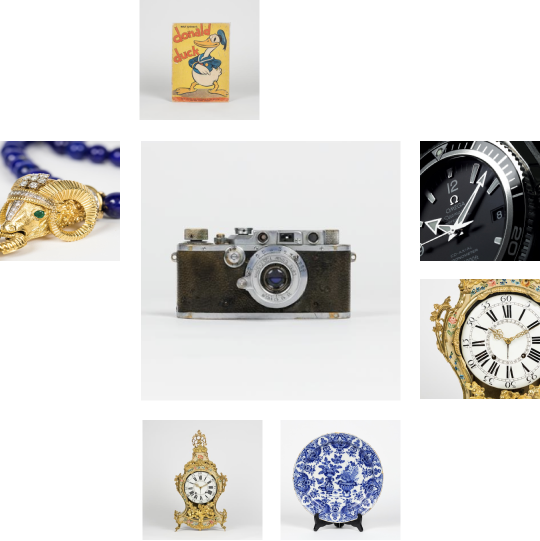
Browse through thousands of objects in auction selected by experts.
2. Place the top bid
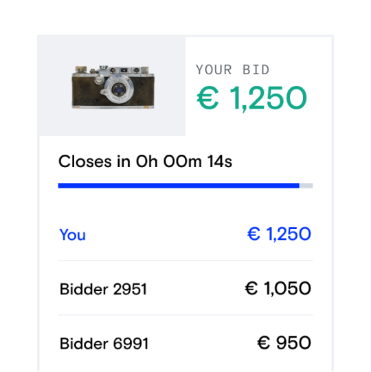
When you find something you love, create your free account to start bidding!
3. Pay and enjoy!
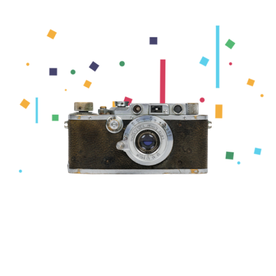
Pay for your object to officially make it yours. We partner with trusted licensed payment providers to keep your money safe.