Karl von Raumer - Palästina - 3rd Ed with Large Fold-Out Map - 1850


14
days
08
hours
24
minutes
15
seconds

No bids placed
Catawiki Buyer Protection
Your payment’s safe with us until you receive your object.View details
Trustpilot 4.4 | 123418 reviews
Rated Excellent on Trustpilot.
Karl von Raumer, Palästina – 3rd Ed with Large Fold-Out Map, a hardback illustrated German geography treatise published by F. A. Brockhaus in Leipzig in 1850, 476 pages.
AI-assisted summary
Description from the seller
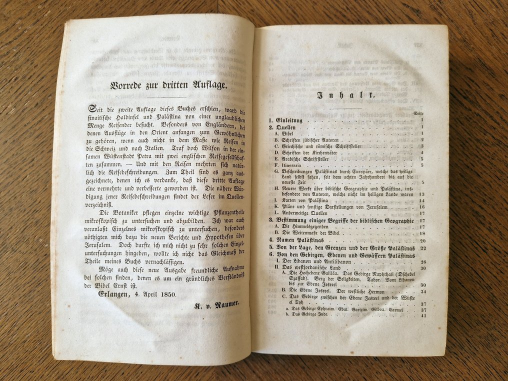
This is the third, augmented and improved edition of Karl von Raumer's significant geographical and historical treatise on the Holy Land, published in Leipzig by F. A. Brockhaus in 1850. The work is a comprehensive study of biblical geography, drawing from a wide array of sources including Jewish authors, Greek and Roman writers, Church Fathers, and later European travelogues. It notably includes a large fold-out lithographed map of Palestine ("Palaestina nach den zuverlässigsten alten und neuen Quellen"), revised by Raumer and F. v. Stülpnagel, alongside detailed genealogical tables of the Maccabees and Herodians, and a floor plan of the Church of the Holy Sepulchre.
The volume is bound in contemporary marbled paper over boards with a black title label and gilt lettering on the spine. It comprises xvi, 476 pages. The illustration suite is complete, featuring the large fold-out map of Palestine at the rear, two fold-out genealogical tables (Stammbaum der Makkabäer; Stammbaum der Herodianer), a plan of the Church of the Holy Sepulchre, and a map of Sichem (Nablus) integrated into the text block or on plates. The text is printed in German Fraktur, with extensive footnotes and indices including Hebrew and Greek terms.
The item is in Good antique condition. The binding is sound but shows wear, with rubbing to the board edges and bumping to the corners. The spine label is intact with visible gilt. Internally, there is moderate to heavy foxing throughout, typical for paper of this era, affecting both the text pages and the plates. The large fold-out map is present and generally intact but exhibits creasing, foxing, and handling wear at the folds. There are no loose pages, but the paper shows signs of age-toning and mild waviness.
Content & Significance: Karl von Raumer (1783–1865) was a German geologist and educator whose approach to biblical geography combined scientific observation with historical analysis. Palästina was highly regarded in the mid-19th century for its methodical examination of the physical landscape of the Holy Land and its correlation with biblical events. This edition is particularly valuable for its inclusion of the Stülpnagel map and the updated scholarship referenced in the 1850 preface. It remains a relevant resource for collectors of Holy Land cartography, historical geography, and 19th-century German Judaica.
Details
Number of Books
1
Subject
Geography
Book Title
Palästina - 3rd Ed with Large Fold-Out Map
Author/ Illustrator
Karl von Raumer
Condition
Good
Publication year oldest item
1850
Edition
Illustrated Edition, Subsequent edition
Language
German
Original language
Yes
Publisher
F. A. Brockhaus, Leipzig
Binding/ Material
Hardback
Extras
Fold out maps or plates
Number of pages
476
