M. Niebuhr - Description de l’Arabie - 1779

10
days
07
hours
26
minutes
52
seconds
Current bid
€ 1
Reserve price not met

Expert
Selected by Zena Chiara Masud
Holds a master’s degree in bibliography, with seven years of experience specialising in incunabula and Arabic manuscripts.
Estimate € 200 - € 250
14 other people are watching this object
 Bidder 7914 Bidder 7914 | €1 |
|---|
Catawiki Buyer Protection
Your payment’s safe with us until you receive your object.View details
Trustpilot 4.4 | 122473 reviews
Rated Excellent on Trustpilot.
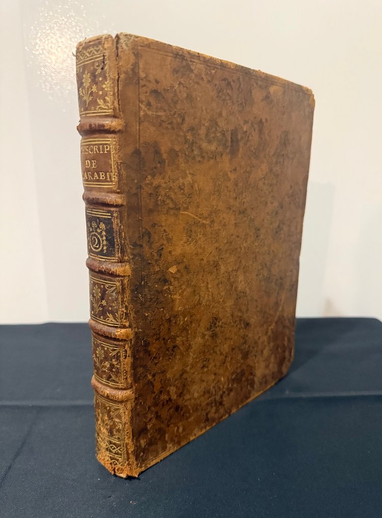
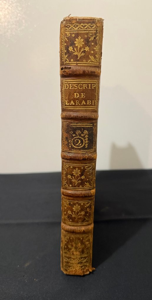
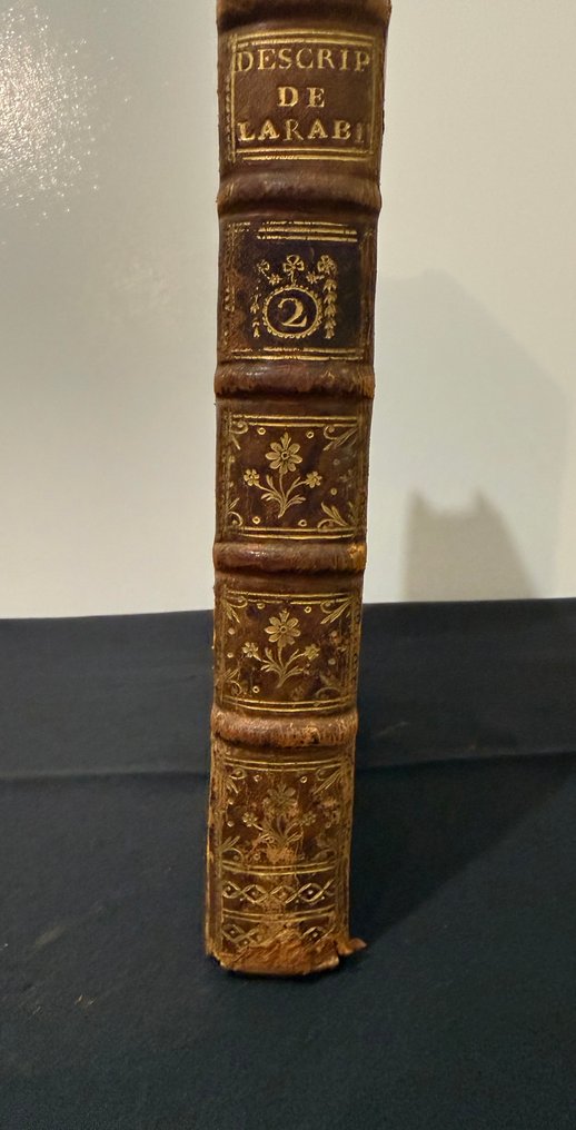
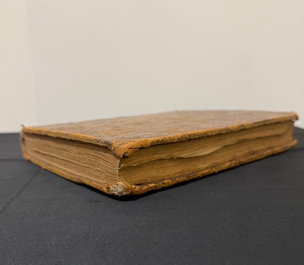
Description de l’Arabie, Volume II by M. Niebuhr, revised French edition originally in French, bound in tan morocco leather, published by Brunet in Paris in 1779, 314 pages, in Good condition, containing Tome 2 with six copperplate maps of the Red Sea and Yemen and ethnographic engravings.
AI-assisted summary
Description from the seller
Copy of the Second Volume of the Description of Arabia, based on observations and research conducted in the country itself — New Edition, revised & corrected.
Volume 2 only of the best French edition. First scientific mapping of the Red Sea & Yemen with over 6 original fold-out maps. Unique ethnographic engravings. Remarkable condition: marbled calfskin, white pages, intact maps. Certified royal approvals. NOTE: Volume 2 only (Volume 1 not included).
Edition: Paris, at Brunet, Bookseller, rue des Écrivains — M. DCC. LXXIX (1779)
Author: Carsten Niebuhr (1733-1815), Danish explorer and cartographer, captain of engineers of Denmark.
Format: In-folio (252 × 190 mm) — period binding of mottled fawn calfskin.
Official Approvals
Royal privilege of the King of France
Approved by the Royal Chamber of the Syndicate of Booksellers & Printers.
Approval by MERLIN (Minister of Foreign Affairs)
Carsten Niebuhr was the only survivor of the expedition launched by King Frederick V of Denmark. For six consecutive years in Yemen (1761-1763 + additional explorations), he documented all aspects of Arab civilization with exemplary scientific rigor:
Precise geography (personal cartographic surveys)
Dynastic history and government structure
No text provided for translation.
Trade and caravan routes
Social structure and ethnography
Astronomical and maritime observations
This Volume 2 contains Niebuhr's original scientific maps engraved on copper — foundational documents of modern Middle Eastern cartography.
Original cards (6 cards)
Red Sea (Tab. XX) — FIRST SCIENTIFIC MAPPING
Direct observations 1762-1763
• Ports: Suez, Loheia, Mocha, Aden
Precise latitude/longitude
18th-century cartographic revolution.
Entire Yemen — Major fold-out map
Over 300 Arab toponyms
Detailed Montagnier relief
Persian Gulf (Tab. XIX) — First mention of Kuwait
Major commercial ports
Documented maritime routes
Oman, Sinai, annexed maps
First precise mapping of Mount Sinai
Ethnographic Engravings
Arab Military Exercises (Marillier) — Only Visual Source
• Cavalry, infantry, detailed armament.
Yemeni fortified architecture
Morals of the Arabs
Daily life, costumes, utensils.
Foldable Genealogical Table
Yemeni dynasties up to 1763.
Details
Number of Books
1
Subject
Travels
Book Title
Description de l’Arabie
Author/ Illustrator
M. Niebuhr
Condition
Good
Publication year oldest item
1779
Edition
Revised edition
Language
French
Original language
Yes
Publisher
Brunet, Libraire, rue des Écrivains, Paris
Binding/ Material
Leather
Number of pages
314
Sold by
