Spania - Granada, Córdoba și Jaén; D. T. Lopez / Homann - Charte Geographique Des Provinces De Granada,Cordova Et Jaen - 1781-1800
Spania - Valencia, Ibiza; D.T. Lopez / Homann Heirs - Regni Valenciae Tabula ad Originalia D.T. Lopez - 1781-1800
Olanda - Limburg, Venlo, Roermond, Gennep; Nic. van Geelkercken / Arend van Slichtenhorst. - Ruermond Het Over Vierdeel van Gelderlandt - 1651-1660
Polonia - Silezia Inferioară, Germania, Republica Cehă; Jonas Scultetus - Atlas Novus / Theatrum Orbis Terrarum - 1621-1650
. - Polonia, Ungaria, Transilvania, Austria, Republica Cehă, Slovenia, Golful Veneției; Rigobert Bonne (1727–1795) - "mappa geografica antica dell'Europa Centrale e Sud-Orientale", Regno d'Ungheria - 1761-1780
Polonia - Lituania / Varșovia / Cracovia / Vilnius / Gdansk; R. de Vaugondy - Royaume de Pologne - 1781-1800
Olanda - Doetinchem, Lochem, Groenlo, Bredevoort; Nic. van Geelkercken / Arend van Slichtenhorst - Dotekom, Lochem, Grolla, Breevoort - 1651-1660
De Nederlanden der XVII Provinciën - Olanda, Belgia și Luxemburg; Sanson - Petrus/Pierre Verbiest - Zacharias Heyns - Atlas Nouveau de Dix-Sept Provinces / Touts les Pays Bas / Den Nederlandtschen Landtspiegel in Rijme - 1599-1701
Olanda - Haarlem c.q. Noord-Holland; Ben Speet / Topografische Dienst van het Leger - Historische Atlas van Haarlem. 1000 Jaar Spaarnestad + Historische Atlas Noord-Holland 1894-1924 - 1000–2000
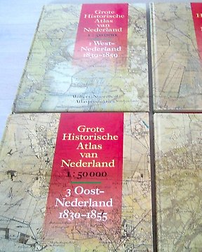
Olanda - Vestul, Nordul, Estul și Sudul Țărilor de Jos; Dienst der Militaire Verkenningen - Grote Historische Atlas van Nederland (in 4 delen: West-, Noord-, Oost- en Zuid-Nederland) - 1838-1859