Europe - European Empire / Mediterranean Countries; Pierre M. Lapie / Conrad Malte-Brun - Europe en 1789 - Europe sous Charles-Quint - 1801-1820
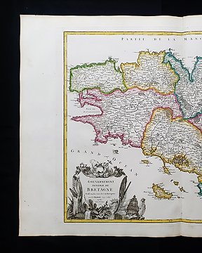
Europe - France / Brittany / Brest / Rennes / Saint-Malo / Vannes / Carnac; Robert de Vaugondy - Gouvernement General de Bretagne......, 1758 - 1751-1760
Europe - Portugal / Spain / Madrid / Lisbon / Barcelona / Ibiza / Majorca / Minorca; A. Stieler / G.J. Perthes - (1874) - Spanien und Portugal, 1874 - 1861-1880
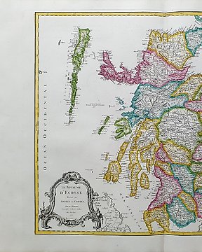
Europe - Scotland / United Kingdom / North Europe / Edinburgh; Robert de Vaugondy - Le Royaume d'Ecosse......, 1758 - 1751-1760
Europe - [LOT of 2] - British Isles / United Kingdom / England / Ireland / London / Scotland / Wales / UK; A. Grenet / R. Bonne - Carte des Royaumes d'Angleterre, d'Ecosse et d'Irlande / Mappa Insularum Britannicarum... - [LOT of - 1761-1780
Europe - [LOT of 2] - Germany / Berlin / Trier / Braunschweig; Matthaus Seutter / C. Lotter - Trevirensis Archi-Episcopatus / Ducatus Brunsuicensis - [LOT of 2] - 1721-1750
Europe - [Lot of 2] - Scandinavia / Russia / Finland / Moscow / Baltic Sea; Delisle - Dezauche, 1788 - Carte de Moscovie (Nord et Sud) - [LOT of 2] - 1721-1750
Europe - [Lot of 3] - France / Paris / Lille / Brittany / Bordeaux / Rennes; G. Delisle / Dezauche, 1798/1809 - Carte de France / Plan de Paris / Carte de la Prevostè et Vicomtè de Paris - [LOT of 3] - 1761-1780
Europe - [Lot of 3] - France / Paris / Nantes / Bordeaux / Cote d'Or / Marseille / Nice; Christopher Weigel & David Kohler - Tres Galliae / Gallia Iulii Caesaris Tempore / Gallia Belgica - [LOT of 3] - 1701-1720
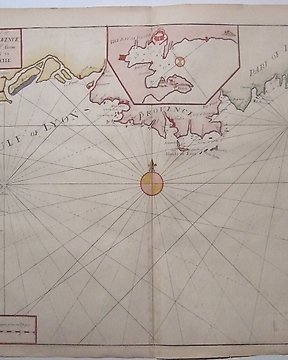
France - Languedoc - Provence; John Seller, Mount & Page, - The sea coast of Languedoc Provence and Part of Italy - 1701-1720
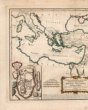
France - Mediterranean region Palestine Israel; Bonne, Rigobert - Lattre, Jean - "Carte des Regions et des Lieux dont il est parle dans le Nouveau Testament. Dressee par M. Bonne de - 1761-1780
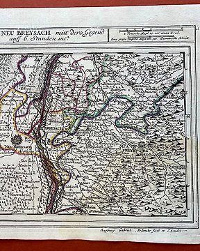
Germany/France - Alsace, Rhine, Black Forest; Gabriel Bodenehr (1673-1765) - Alt- und Neu Breysach mitt dero Gegend auff 6. Stunden inca (Old and New Breisach...) - 1701-1720
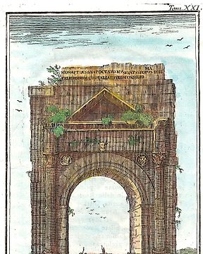
Italy - Rimini / Emilia Romagna; Rogissart - L'Arco di Rimini vicino alla Porta Orientale fatto per ordine dell'Imp Augusto - 1701-1720
Levant/Middle East/Asia Minor - Anatolia (Turkey), Cyprus, Syria, Lebanon; Rigobert Bonne - Asia Minor - 1781-1800
Mappamondo - World map / Eastern Hemisphere / Europe / Africa / Asia / Australia; Christopher Weigel & David Kohler - Orbis Terrarum Veteribus Cogniti Typus - 1701-1720
Netherlands - Netherlands and Belgium; Cluverius - HODIERNAE BELGICAE SIVE GERMANIAE INFERIORIS.. - 1701-1720
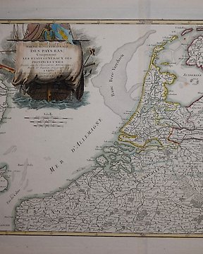
Netherlands - Northern Netherlands, Belgium, Germany.; Janvier - Partie Septentrionale Des Pays Bas. - 1761-1780
North America - North and South America / United States / Canada / Mexico / Brazil / Chile / Caribbean; G. Delisle / Dezauche - Carte d'Amerique (Nord e Sud) - 1761-1780
South America - South America / Brazil / Argentina / Buenos Aires / Chile / Peru / Colombia; R. de Vaugondy - Terre-Ferme, Perou, Bresil, Pays de l'Amazone - 1781-1800